Barmill from the air
Introduction
The photograph on this page of Barmill from the air by Thomas Nugent as part of the Geograph project.
The Geograph project started in 2005 with the aim of publishing, organising and preserving representative images for every square kilometre of Great Britain, Ireland and the Isle of Man.

There are currently over 7.5m images from over 14,400 individuals and you can help contribute to the project by visiting https://www.geograph.org.uk
Barmill from the air
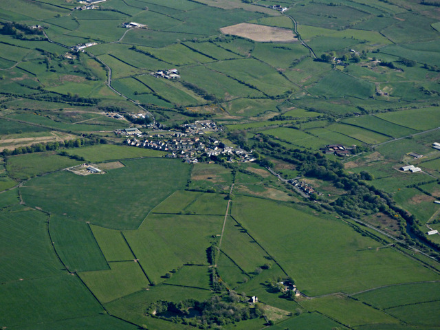
Image: © Thomas Nugent Taken: 15 May 2016
The disused Dockra quarry is in the foreground. The short line of trees beyond it is the line of a tranway that linked the quarry to the main line at Barmill. The remains of various other disused lines can also be traced around Barmill.
Images are licensed for reuse under creativecommons.org/licenses/by-sa/2.0
Image Location
Latitude
55.737538
Longitude
-4.607655