The A470 at the Border of Radnorshire
Introduction
The photograph on this page of The A470 at the Border of Radnorshire by David Dixon as part of the Geograph project.
The Geograph project started in 2005 with the aim of publishing, organising and preserving representative images for every square kilometre of Great Britain, Ireland and the Isle of Man.

There are currently over 7.5m images from over 14,400 individuals and you can help contribute to the project by visiting https://www.geograph.org.uk
The A470 at the Border of Radnorshire
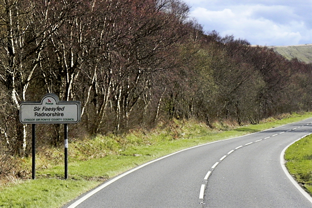
Image: © David Dixon Taken: 13 Apr 2016
Radnor or Radnorshire (Sir Faesyfed) is a sparsely populated area, one of thirteen historic and former administrative counties of Wales. The historic county is bounded to the north by Montgomeryshire and Shropshire, to the east by Herefordshire, to the south by Brecknockshire and to the west by Cardiganshire.
Images are licensed for reuse under creativecommons.org/licenses/by-sa/2.0
Image Location
Latitude
52.372164
Longitude
-3.588538