Land to the south of Cranbrook Station
Introduction
The photograph on this page of Land to the south of Cranbrook Station by David Smith as part of the Geograph project.
The Geograph project started in 2005 with the aim of publishing, organising and preserving representative images for every square kilometre of Great Britain, Ireland and the Isle of Man.

There are currently over 7.5m images from over 14,400 individuals and you can help contribute to the project by visiting https://www.geograph.org.uk
Land to the south of Cranbrook Station
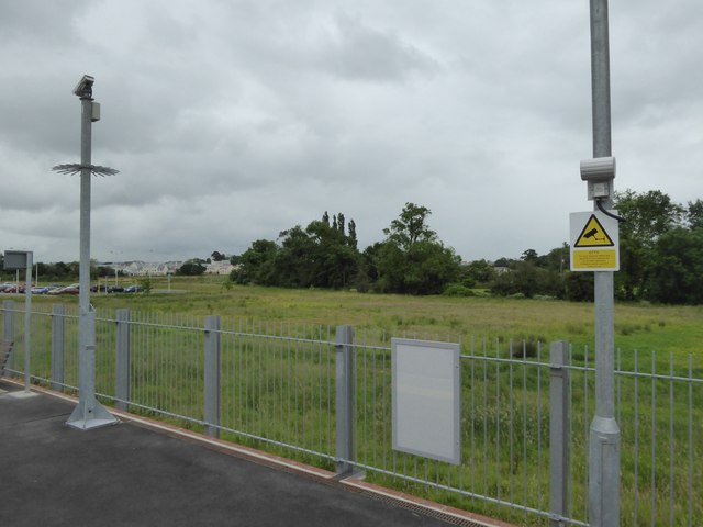
Image: © David Smith Taken: 13 Jun 2016
The station is currently (2016) on the edge of the new town, which will gradually expand towards this area
Images are licensed for reuse under creativecommons.org/licenses/by-sa/2.0
Image Location
Latitude
50.750001
Longitude
-3.419576