Iron steps
Introduction
The photograph on this page of Iron steps by Alexander P Kapp as part of the Geograph project.
The Geograph project started in 2005 with the aim of publishing, organising and preserving representative images for every square kilometre of Great Britain, Ireland and the Isle of Man.

There are currently over 7.5m images from over 14,400 individuals and you can help contribute to the project by visiting https://www.geograph.org.uk
Iron steps
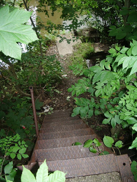
Image: © Alexander P Kapp Taken: 18 Jul 2007
These steps seem to lead down to a sluice or inlet in the bank of the River Irwell which is hidden in the trees.
Images are licensed for reuse under creativecommons.org/licenses/by-sa/2.0
Image Location


Leaflet Map data © OpenStreetMap
Latitude
53.568941
Longitude
-2.304069