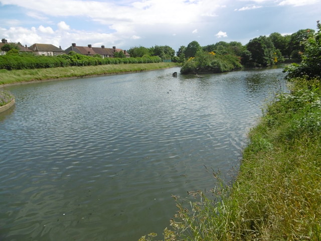
The lake in Goodmayes Park
Introduction
The photograph on this page of The lake in Goodmayes Park by Marathon as part of the Geograph project.
The Geograph project started in 2005 with the aim of publishing, organising and preserving representative images for every square kilometre of Great Britain, Ireland and the Isle of Man.
There are currently over 7.5m images from over 14,400 individuals and you can help contribute to the project by visiting https://www.geograph.org.uk

Image: © Marathon Taken: 15 Jun 2016
Goodmayes Park was laid out in 1901 to provide a green 'lung' for the new Mayfield Estate, built by developer A Cameron Corbett, who donated land for the park to the Urban District Council. The area grew up following the arrival of the railway in 1901 and is named after Goodmayes Farm, which once stood on what is now the park. The park was opened to the public in 1905. Goodmayes Park is divided by Mayesbrook Road into two compartments, that in the north having a lake formed by damming the Mayes Brook. The lake is divided by a footbridge. This is the view from the footbridge looking to the southern part of the lake. A fuller description of the park can be seen at http://www.londongardensonline.org.uk/gardens-online-record.asp?ID=RED015

