View down to Brown Knowl from the Sandstone Trail
Introduction
The photograph on this page of View down to Brown Knowl from the Sandstone Trail by Christopher Hilton as part of the Geograph project.
The Geograph project started in 2005 with the aim of publishing, organising and preserving representative images for every square kilometre of Great Britain, Ireland and the Isle of Man.

There are currently over 7.5m images from over 14,400 individuals and you can help contribute to the project by visiting https://www.geograph.org.uk
View down to Brown Knowl from the Sandstone Trail
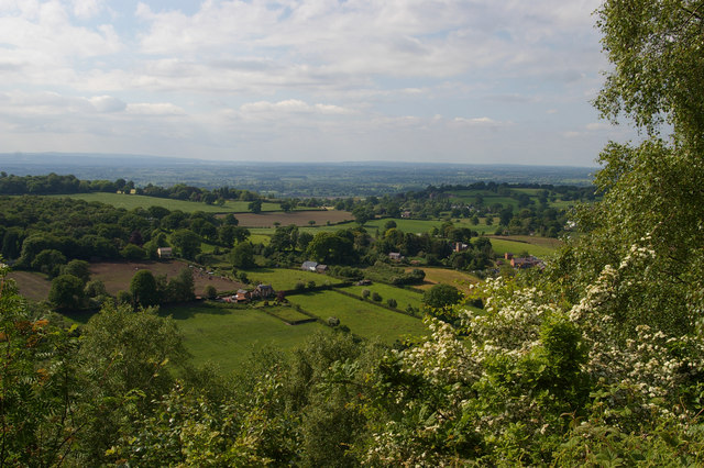
Image: © Christopher Hilton Taken: 1 Jun 2016
To the right of centre, the tower of Brown Knowl Methodist Church.
Images are licensed for reuse under creativecommons.org/licenses/by-sa/2.0
Image Location
Latitude
53.074625
Longitude
-2.754481