The Priest's House, Penlands Way, Steyning
Introduction
The photograph on this page of The Priest's House, Penlands Way, Steyning by Simon Carey as part of the Geograph project.
The Geograph project started in 2005 with the aim of publishing, organising and preserving representative images for every square kilometre of Great Britain, Ireland and the Isle of Man.

There are currently over 7.5m images from over 14,400 individuals and you can help contribute to the project by visiting https://www.geograph.org.uk
The Priest's House, Penlands Way, Steyning
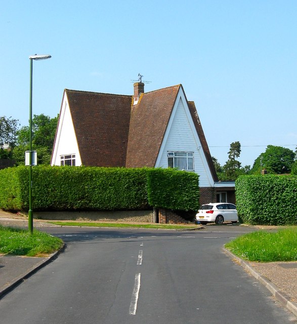
Image: © Simon Carey Taken: 5 Jun 2016
Probably built as the residence of the priest for neighbouring Image though I've been unable to determine whether it is still used for that purpose.
Images are licensed for reuse under creativecommons.org/licenses/by-sa/2.0
Image Location
Latitude
50.884709
Longitude
-0.328007