Newham Lane, Steyning
Introduction
The photograph on this page of Newham Lane, Steyning by Simon Carey as part of the Geograph project.
The Geograph project started in 2005 with the aim of publishing, organising and preserving representative images for every square kilometre of Great Britain, Ireland and the Isle of Man.

There are currently over 7.5m images from over 14,400 individuals and you can help contribute to the project by visiting https://www.geograph.org.uk
Newham Lane, Steyning
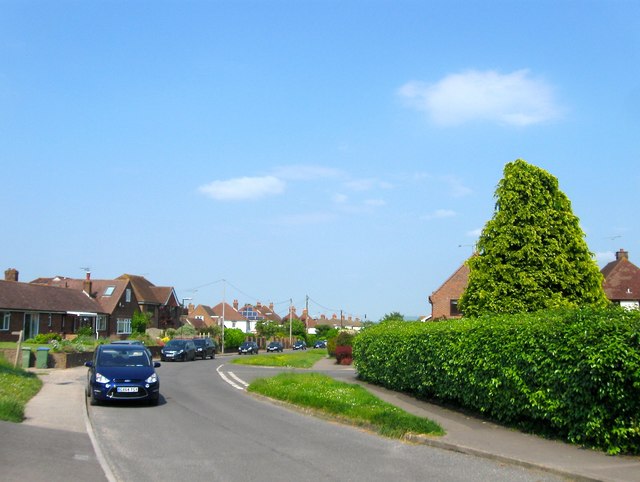
Image: © Simon Carey Taken: 5 Jun 2016
Originally the centuries old western route of the town of Steyning now little more than a narrow access route up onto the Downs. Initially only Newham Farm existed along the lane but the road began to be developed after the Second World War and was largely completed by the end of the 1970s.
Images are licensed for reuse under creativecommons.org/licenses/by-sa/2.0
Image Location
Latitude
50.886855
Longitude
-0.333475