Buxton Old Road meets Buxton New Road
Introduction
The photograph on this page of Buxton Old Road meets Buxton New Road by Graham Hogg as part of the Geograph project.
The Geograph project started in 2005 with the aim of publishing, organising and preserving representative images for every square kilometre of Great Britain, Ireland and the Isle of Man.

There are currently over 7.5m images from over 14,400 individuals and you can help contribute to the project by visiting https://www.geograph.org.uk
Buxton Old Road meets Buxton New Road
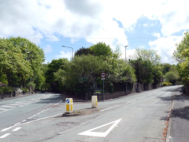
Image: © Graham Hogg Taken: 23 May 2016
Old to the right, new to the left. The old road was the original 1759 turnpike road, replaced in 1821 by a longer but less steep route. Today it is the A537.
Images are licensed for reuse under creativecommons.org/licenses/by-sa/2.0
Image Location
Latitude
53.255943
Longitude
-2.102786