Looking north-northwest from Breach Downs
Introduction
The photograph on this page of Looking north-northwest from Breach Downs by John Baker as part of the Geograph project.
The Geograph project started in 2005 with the aim of publishing, organising and preserving representative images for every square kilometre of Great Britain, Ireland and the Isle of Man.

There are currently over 7.5m images from over 14,400 individuals and you can help contribute to the project by visiting https://www.geograph.org.uk
Looking north-northwest from Breach Downs
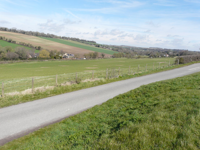
Image: © John Baker Taken: 12 Apr 2016
The house called Hunters Moon, located in South Barham Road (on the other side of the meadow), is undergoing building work. Planning permission has been granted by Canterbury City Council under application number CA//14/01215 for the “demolition of two-storey flat roofed extension and garage. Erection of two-storey pitched roof extension to rear and new double garage with bedroom and en-suite over. Replacement of existing windows”.
Images are licensed for reuse under creativecommons.org/licenses/by-sa/2.0
Image Location
Latitude
51.196023
Longitude
1.151563