B4231 distances from Lydney
Introduction
The photograph on this page of B4231 distances from Lydney by Jaggery as part of the Geograph project.
The Geograph project started in 2005 with the aim of publishing, organising and preserving representative images for every square kilometre of Great Britain, Ireland and the Isle of Man.

There are currently over 7.5m images from over 14,400 individuals and you can help contribute to the project by visiting https://www.geograph.org.uk
B4231 distances from Lydney
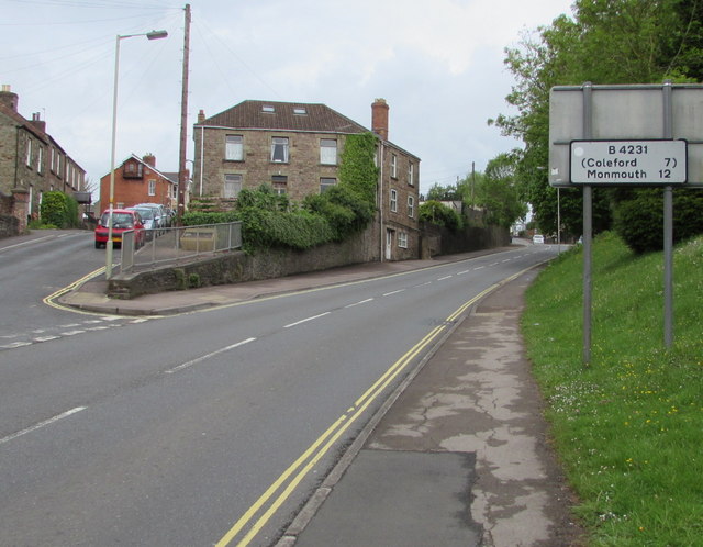
Image: © Jaggery Taken: 22 May 2016
The sign faces the B4231 Bream Road at the Stanford Road junction, 12 (miles) from Monmouth, 7 from Coleford.
Images are licensed for reuse under creativecommons.org/licenses/by-sa/2.0
Image Location
Latitude
51.726118
Longitude
-2.535058