Disused Thames and Severn Canal
Introduction
The photograph on this page of Disused Thames and Severn Canal by Philip Halling as part of the Geograph project.
The Geograph project started in 2005 with the aim of publishing, organising and preserving representative images for every square kilometre of Great Britain, Ireland and the Isle of Man.

There are currently over 7.5m images from over 14,400 individuals and you can help contribute to the project by visiting https://www.geograph.org.uk
Disused Thames and Severn Canal
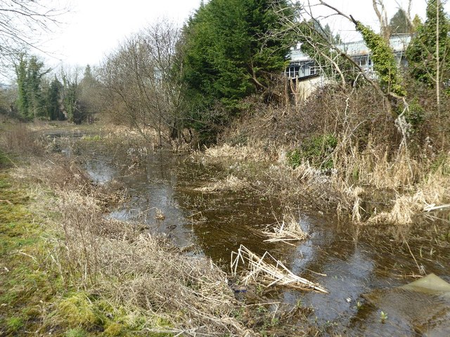
Image: © Philip Halling Taken: 12 Mar 2016
Further down the valley this canal has undergone restoration though this part of the Thames and Severn Canal east of Brimscombe is very much choked with silt and vegetation.
Images are licensed for reuse under creativecommons.org/licenses/by-sa/2.0
Image Location
Latitude
51.717399
Longitude
-2.179878