Bridleway 279
Introduction
The photograph on this page of Bridleway 279 by Glyn Baker as part of the Geograph project.
The Geograph project started in 2005 with the aim of publishing, organising and preserving representative images for every square kilometre of Great Britain, Ireland and the Isle of Man.

There are currently over 7.5m images from over 14,400 individuals and you can help contribute to the project by visiting https://www.geograph.org.uk
Bridleway 279
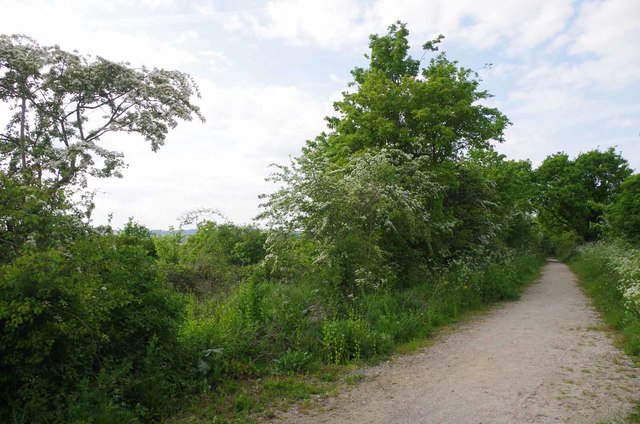
Image: © Glyn Baker Taken: 15 May 2016
Or Cycleway 136 take your pick. Looking towards Harold Park
Images are licensed for reuse under creativecommons.org/licenses/by-sa/2.0
Image Location
Latitude
51.591671
Longitude
0.250328