Main Street, Barrowden, the west end
Introduction
The photograph on this page of Main Street, Barrowden, the west end by Alan Murray-Rust as part of the Geograph project.
The Geograph project started in 2005 with the aim of publishing, organising and preserving representative images for every square kilometre of Great Britain, Ireland and the Isle of Man.

There are currently over 7.5m images from over 14,400 individuals and you can help contribute to the project by visiting https://www.geograph.org.uk
Main Street, Barrowden, the west end
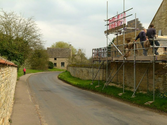
Image: © Alan Murray-Rust Taken: 11 Apr 2016
Taken from by West Farmhouse entrance. There is a bench mark http://www.geograph.org.uk/photo/4908968 on the gable being rebuilt on the right.
Images are licensed for reuse under creativecommons.org/licenses/by-sa/2.0
Image Location
Latitude
52.590494
Longitude
-0.606325