Zigzag markings on Llwynhendy Road, Llwynhendy
Introduction
The photograph on this page of Zigzag markings on Llwynhendy Road, Llwynhendy by Jaggery as part of the Geograph project.
The Geograph project started in 2005 with the aim of publishing, organising and preserving representative images for every square kilometre of Great Britain, Ireland and the Isle of Man.

There are currently over 7.5m images from over 14,400 individuals and you can help contribute to the project by visiting https://www.geograph.org.uk
Zigzag markings on Llwynhendy Road, Llwynhendy
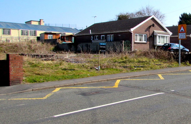
Image: © Jaggery Taken: 17 Mar 2016
Marking a Keep Clear zone near the entrance http://www.geograph.org.uk/photo/4905532 to Llwynhendy Children's Club. The warning sign shows humps for 330 yards.
Images are licensed for reuse under creativecommons.org/licenses/by-sa/2.0
Image Location
Latitude
51.679341
Longitude
-4.119904