Admiral Court, north end of Lomond Grove, Camberwell
Introduction
The photograph on this page of Admiral Court, north end of Lomond Grove, Camberwell by Robin Stott as part of the Geograph project.
The Geograph project started in 2005 with the aim of publishing, organising and preserving representative images for every square kilometre of Great Britain, Ireland and the Isle of Man.

There are currently over 7.5m images from over 14,400 individuals and you can help contribute to the project by visiting https://www.geograph.org.uk
Admiral Court, north end of Lomond Grove, Camberwell
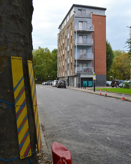
Image: © Robin Stott Taken: 18 Sep 2015
It's at the junction with Bowyer Place and New Church Road. The plane tree, left, has a little protection from construction traffic turning into the house-building site at the foot of Masterman House Image
Images are licensed for reuse under creativecommons.org/licenses/by-sa/2.0
Image Location
Latitude
51.479311
Longitude
-0.092353