A view across east Braunton towards the Artavia TV mast
Introduction
The photograph on this page of A view across east Braunton towards the Artavia TV mast by Roger A Smith as part of the Geograph project.
The Geograph project started in 2005 with the aim of publishing, organising and preserving representative images for every square kilometre of Great Britain, Ireland and the Isle of Man.

There are currently over 7.5m images from over 14,400 individuals and you can help contribute to the project by visiting https://www.geograph.org.uk
A view across east Braunton towards the Artavia TV mast
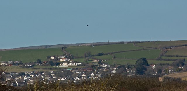
Image: © Roger A Smith Taken: 10 Mar 2016
See also:Image To the left, just below centre, are houses on Downs Lane. In the lower left corner are houses in Rectory Close and surrounding streets. Following Downs lane diagonally upwards and across the image leads to Green Lane, just before centre image. The TV mast is on the horizon. The houses below this are those on and around Higher and Lower Park Road. A water tower on Chivenor airfield is in the lower right corner.
Images are licensed for reuse under creativecommons.org/licenses/by-sa/2.0
Image Location
Latitude
51.112874
Longitude
-4.150389