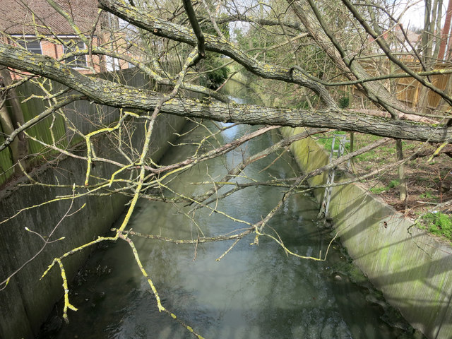
The Wealdstone Brook
Introduction
The photograph on this page of The Wealdstone Brook by Des Blenkinsopp as part of the Geograph project.
The Geograph project started in 2005 with the aim of publishing, organising and preserving representative images for every square kilometre of Great Britain, Ireland and the Isle of Man.
There are currently over 7.5m images from over 14,400 individuals and you can help contribute to the project by visiting https://www.geograph.org.uk

Image: © Des Blenkinsopp Taken: 30 Mar 2016
Best described as one of the Not Quite Lost rivers of London, the Wealdstone Brook is one of the main tributaries in the Brent catchment. It's a nice name, but that's probably the best thing about it at the moment. Generally confined to a dismal concrete channel fenced off behind houses and industrial estates, it scores abysmally on the Environment Agency's ratings for bio diversity and water quality. It's not even that easy to get a decent picture of a lot of it, as you see here. There are plans to improve some sections, but let's wait and see. If you have a few moments to spare, here is Diamond Geezer's account of his journey of discovery. http://diamondgeezer.blogspot.co.uk/2015/02/wealdstone-brook.html

