Londonderry - The Yorkshire Version
Introduction
The photograph on this page of Londonderry - The Yorkshire Version by Chris Heaton as part of the Geograph project.
The Geograph project started in 2005 with the aim of publishing, organising and preserving representative images for every square kilometre of Great Britain, Ireland and the Isle of Man.

There are currently over 7.5m images from over 14,400 individuals and you can help contribute to the project by visiting https://www.geograph.org.uk
Londonderry - The Yorkshire Version
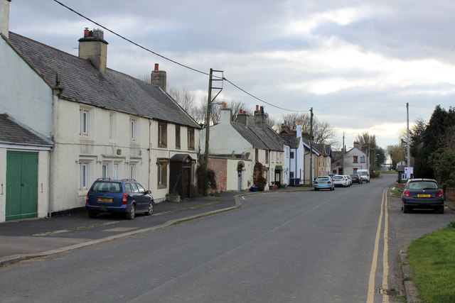
Image: © Chris Heaton Taken: 21 Mar 2016
It does actually take its name from the city in Northern Ireland. This used to be on the Great North Road, but has been reduced to a dead end that serves the village only - since the upgrading of the A1 to motorway status. This has strangled the life and business from the community, which has now the rather run down look of yesteryear.
Images are licensed for reuse under creativecommons.org/licenses/by-sa/2.0
Image Location
Latitude
54.283684
Longitude
-1.536559