View over fields and woodland to Pontypool and beyond.
Introduction
The photograph on this page of View over fields and woodland to Pontypool and beyond. by Jessica Aidley as part of the Geograph project.
The Geograph project started in 2005 with the aim of publishing, organising and preserving representative images for every square kilometre of Great Britain, Ireland and the Isle of Man.

There are currently over 7.5m images from over 14,400 individuals and you can help contribute to the project by visiting https://www.geograph.org.uk
View over fields and woodland to Pontypool and beyond.
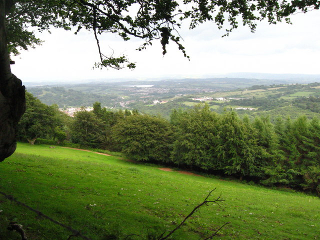
Image: © Jessica Aidley Taken: 6 Jul 2007
The view is of grazing land edged with beech woodland. Pontypool is visible in the distance, and beyond it you can just see Llandegfedd reservoir. This is very obvious when you are there but is very small in the photograph.
Images are licensed for reuse under creativecommons.org/licenses/by-sa/2.0
Image Location
Latitude
51.700227
Longitude
-3.063196