Heritage Trail information at Christ's Hospital
Introduction
The photograph on this page of Heritage Trail information at Christ's Hospital by Shazz as part of the Geograph project.
The Geograph project started in 2005 with the aim of publishing, organising and preserving representative images for every square kilometre of Great Britain, Ireland and the Isle of Man.

There are currently over 7.5m images from over 14,400 individuals and you can help contribute to the project by visiting https://www.geograph.org.uk
Heritage Trail information at Christ's Hospital
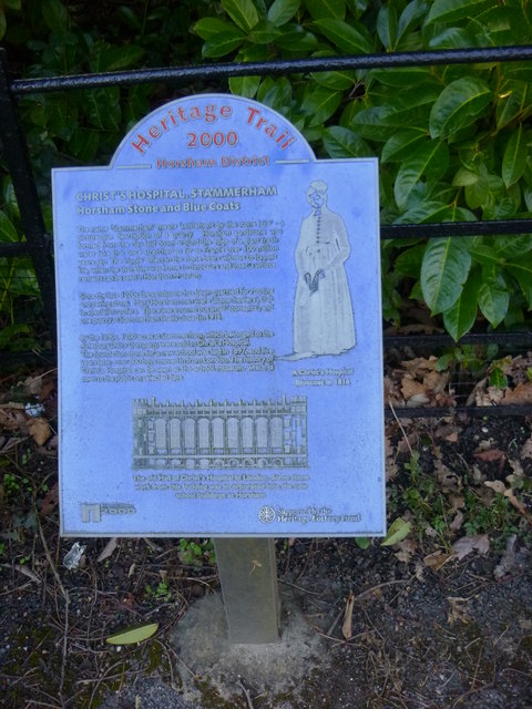
Image: © Shazz Taken: 13 Mar 2016
The plaque is at the main entrance and tells, amongst other things, that the school's foundation stone was laid in 1897.
Images are licensed for reuse under creativecommons.org/licenses/by-sa/2.0
Image Location


Leaflet Map data © OpenStreetMap
Latitude
51.047143
Longitude
-0.361113