The Ridgeway Cycle Path
Introduction
The photograph on this page of The Ridgeway Cycle Path by Jonathan Thacker as part of the Geograph project.
The Geograph project started in 2005 with the aim of publishing, organising and preserving representative images for every square kilometre of Great Britain, Ireland and the Isle of Man.

There are currently over 7.5m images from over 14,400 individuals and you can help contribute to the project by visiting https://www.geograph.org.uk
The Ridgeway Cycle Path
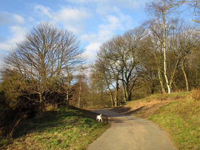
Image: © Jonathan Thacker Taken: 7 Mar 2016
Just before it turns to the right and climbs the hill in Foxhills Plantation.
Images are licensed for reuse under creativecommons.org/licenses/by-sa/2.0
Image Location
Latitude
53.609166
Longitude
-0.673374