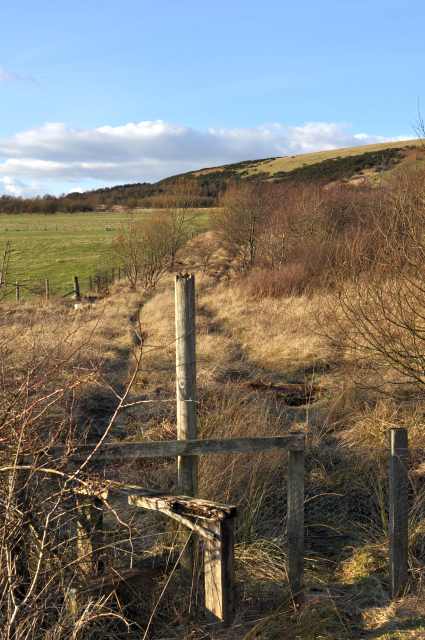
Keirsbeath Community Woodland
Introduction
The photograph on this page of Keirsbeath Community Woodland by Robert Struthers as part of the Geograph project.
The Geograph project started in 2005 with the aim of publishing, organising and preserving representative images for every square kilometre of Great Britain, Ireland and the Isle of Man.
There are currently over 7.5m images from over 14,400 individuals and you can help contribute to the project by visiting https://www.geograph.org.uk

Image: © Robert Struthers Taken: 27 Feb 2016
When the open cast mine closed in 1992 the land was mostly restored to agriculture, but some provision was made for community woodland. Unfortunately it has generally not been managed well, and fails to thrive.

