Slyfield sewage works road
Introduction
The photograph on this page of Slyfield sewage works road by Alan Hunt as part of the Geograph project.
The Geograph project started in 2005 with the aim of publishing, organising and preserving representative images for every square kilometre of Great Britain, Ireland and the Isle of Man.

There are currently over 7.5m images from over 14,400 individuals and you can help contribute to the project by visiting https://www.geograph.org.uk
Slyfield sewage works road
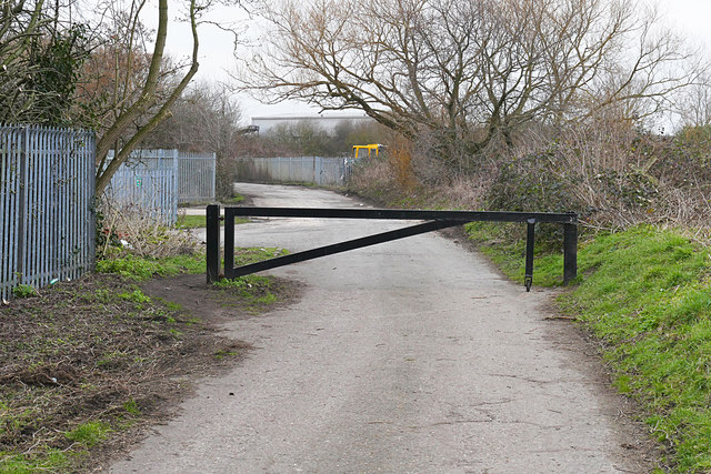
Image: © Alan Hunt Taken: 27 Feb 2016
The barrier across the access road just past the entrance to the sewage works in Slyfield. The track carries on to the Stoke Lock on the River Wey navigation.
Images are licensed for reuse under creativecommons.org/licenses/by-sa/2.0
Image Location
Latitude
51.256464
Longitude
-0.564204