Forestry track above Fron-l
Introduction
The photograph on this page of Forestry track above Fron-l by Bill Boaden as part of the Geograph project.
The Geograph project started in 2005 with the aim of publishing, organising and preserving representative images for every square kilometre of Great Britain, Ireland and the Isle of Man.

There are currently over 7.5m images from over 14,400 individuals and you can help contribute to the project by visiting https://www.geograph.org.uk
Forestry track above Fron-l
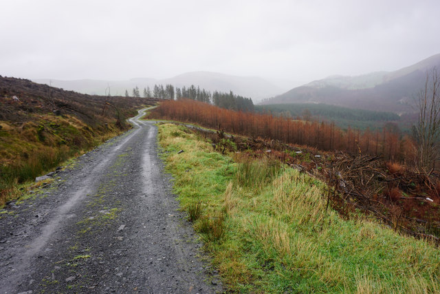
Image: © Bill Boaden Taken: 5 Feb 2016
Much of the forest on this hillside has been cleared. The hills ahead line Cwm Hirnant.
Images are licensed for reuse under creativecommons.org/licenses/by-sa/2.0
Image Location
Latitude
52.778251
Longitude
-3.435162