Lane to Titchberry in Devon
Introduction
The photograph on this page of Lane to Titchberry in Devon by Roger D Kidd as part of the Geograph project.
The Geograph project started in 2005 with the aim of publishing, organising and preserving representative images for every square kilometre of Great Britain, Ireland and the Isle of Man.

There are currently over 7.5m images from over 14,400 individuals and you can help contribute to the project by visiting https://www.geograph.org.uk
Lane to Titchberry in Devon
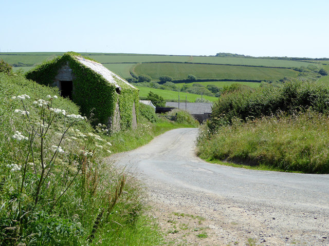
Image: © Roger D Kidd Taken: 30 Jun 2015
Behind the camera are the routes to Hartland Point (good car park but you can't walk to the lighthouse) and the coastal path. .
Images are licensed for reuse under creativecommons.org/licenses/by-sa/2.0
Image Location


Leaflet Map data © OpenStreetMap
Latitude
51.017487
Longitude
-4.508481