Fenced-off site of a demolished school, Brynmawr
Introduction
The photograph on this page of Fenced-off site of a demolished school, Brynmawr by Jaggery as part of the Geograph project.
The Geograph project started in 2005 with the aim of publishing, organising and preserving representative images for every square kilometre of Great Britain, Ireland and the Isle of Man.

There are currently over 7.5m images from over 14,400 individuals and you can help contribute to the project by visiting https://www.geograph.org.uk
Fenced-off site of a demolished school, Brynmawr
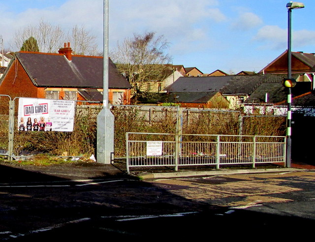
Image: © Jaggery Taken: 2 Feb 2016
On the north side of the A4047 King Street viewed in February 2016. Ysgol Cymraeg http://www.geograph.org.uk/photo/1819840 was here in April 2010.
Images are licensed for reuse under creativecommons.org/licenses/by-sa/2.0
Image Location
Latitude
51.800216
Longitude
-3.176055