Tarrant Gunville, Drove Barn
Introduction
The photograph on this page of Tarrant Gunville, Drove Barn by Mike Faherty as part of the Geograph project.
The Geograph project started in 2005 with the aim of publishing, organising and preserving representative images for every square kilometre of Great Britain, Ireland and the Isle of Man.

There are currently over 7.5m images from over 14,400 individuals and you can help contribute to the project by visiting https://www.geograph.org.uk
Tarrant Gunville, Drove Barn
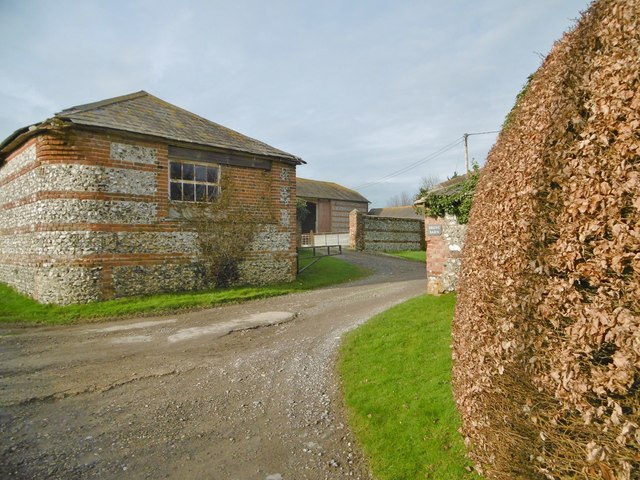
Image: © Mike Faherty Taken: 21 Jan 2016
Farm on the road to Everley Hill. Perhaps the barn referred to is that to the left, or perhaps that in the distance. Both are built in the vernacular style of bands of brick and flint.
Images are licensed for reuse under creativecommons.org/licenses/by-sa/2.0
Image Location
Latitude
50.914598
Longitude
-2.123846