Looking west-southwest up Grace Hill
Introduction
The photograph on this page of Looking west-southwest up Grace Hill by John Baker as part of the Geograph project.
The Geograph project started in 2005 with the aim of publishing, organising and preserving representative images for every square kilometre of Great Britain, Ireland and the Isle of Man.

There are currently over 7.5m images from over 14,400 individuals and you can help contribute to the project by visiting https://www.geograph.org.uk
Looking west-southwest up Grace Hill
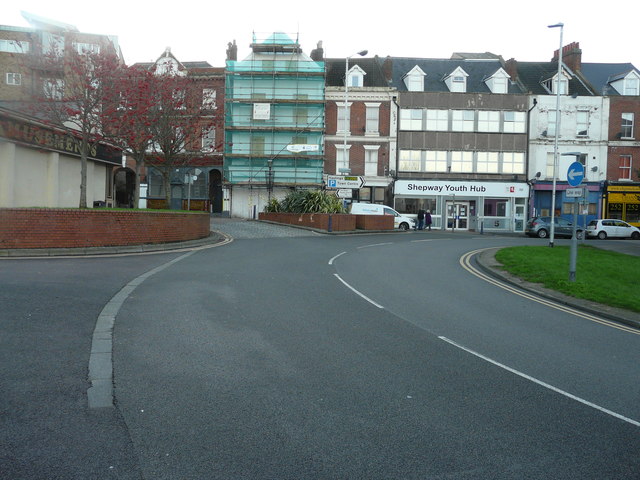
Image: © John Baker Taken: 7 Jan 2016
To where alterations are being carried out to number 1, whose frontage is covered with scaffolding and green safety netting. Planning permission has been approved, with conditions, by Folkestone and Hythe District Council under application number Y13/0844/SH for the “change of use and conversion of first, second and third floors to three self contained flats together with external alterations and demolition and replacement of rear wall”.
Images are licensed for reuse under creativecommons.org/licenses/by-sa/2.0
Image Location
Latitude
51.080989
Longitude
1.181005