Blagdon Cricket Club
Introduction
The photograph on this page of Blagdon Cricket Club by Neil Owen as part of the Geograph project.
The Geograph project started in 2005 with the aim of publishing, organising and preserving representative images for every square kilometre of Great Britain, Ireland and the Isle of Man.

There are currently over 7.5m images from over 14,400 individuals and you can help contribute to the project by visiting https://www.geograph.org.uk
Blagdon Cricket Club
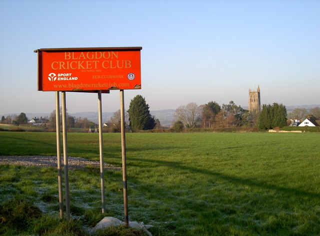
Image: © Neil Owen Taken: 20 Jan 2016
The village of Blagdon has an idyllic setting for the cricket ground - right by St Andrew's church and overlooking the lake. No play today, of course, what with a January frost and all.
Images are licensed for reuse under creativecommons.org/licenses/by-sa/2.0
Image Location
Latitude
51.325403
Longitude
-2.713649