Saltdean Park
Introduction
The photograph on this page of Saltdean Park by Simon Carey as part of the Geograph project.
The Geograph project started in 2005 with the aim of publishing, organising and preserving representative images for every square kilometre of Great Britain, Ireland and the Isle of Man.

There are currently over 7.5m images from over 14,400 individuals and you can help contribute to the project by visiting https://www.geograph.org.uk
Saltdean Park
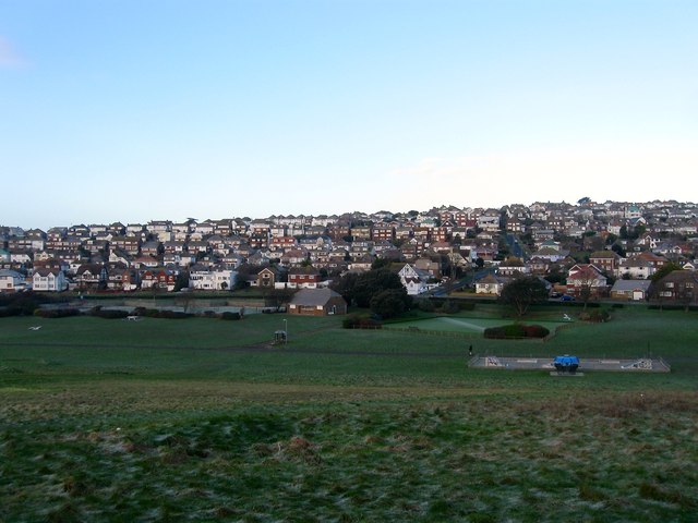
Image: © Simon Carey Taken: 16 Jan 2016
Laid out in the early 1920s as the centre piece of the new estate of Saltdean and covering an area previously known as Saltdean Bottom. Sometimes called the Oval after its shape the southern end now contains Image The eastern slope was once the site of a miniature golf course which closed a while back though the former bunkers and greens can still be made out. At the northern end is Image In view are tennis courts, a bowling green and a small skateboard park.
Images are licensed for reuse under creativecommons.org/licenses/by-sa/2.0
Image Location
Latitude
50.802911
Longitude
-0.041692