Junction of Upper Town Street and Broad Lane
Introduction
The photograph on this page of Junction of Upper Town Street and Broad Lane by Stephen Craven as part of the Geograph project.
The Geograph project started in 2005 with the aim of publishing, organising and preserving representative images for every square kilometre of Great Britain, Ireland and the Isle of Man.

There are currently over 7.5m images from over 14,400 individuals and you can help contribute to the project by visiting https://www.geograph.org.uk
Junction of Upper Town Street and Broad Lane
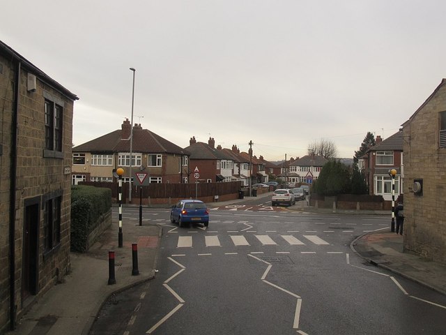
Image: © Stephen Craven Taken: 16 Jan 2016
The A657 road does a dog-leg here (left and right). The road straight on is Blairsville Grove, a dead-end. Taken from the top deck of the 86 bus to Rodley.
Images are licensed for reuse under creativecommons.org/licenses/by-sa/2.0
Image Location
Latitude
53.81514
Longitude
-1.635907