Erection of apartments, 65-65A London Road
Introduction
The photograph on this page of Erection of apartments, 65-65A London Road by John Baker as part of the Geograph project.
The Geograph project started in 2005 with the aim of publishing, organising and preserving representative images for every square kilometre of Great Britain, Ireland and the Isle of Man.

There are currently over 7.5m images from over 14,400 individuals and you can help contribute to the project by visiting https://www.geograph.org.uk
Erection of apartments, 65-65A London Road
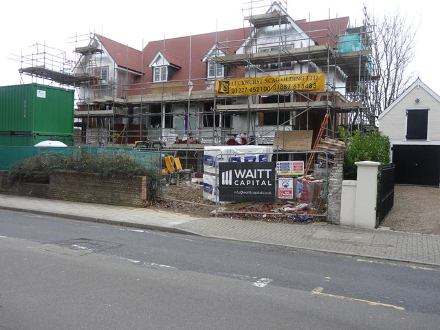
Image: © John Baker Taken: 27 Dec 2015
Planning permission has been granted by Canterbury City Council under application number CA//12/00720 for the “demolition of one pair of semi-detached dwellings and erection of 14 apartments”. The site is also on the corner of Princes Way. This view shows the former entrance. This building has since been named Image
Images are licensed for reuse under creativecommons.org/licenses/by-sa/2.0
Image Location
Latitude
51.28256
Longitude
1.066698