Road junction near Craghead
Introduction
The photograph on this page of Road junction near Craghead by Robert Graham as part of the Geograph project.
The Geograph project started in 2005 with the aim of publishing, organising and preserving representative images for every square kilometre of Great Britain, Ireland and the Isle of Man.

There are currently over 7.5m images from over 14,400 individuals and you can help contribute to the project by visiting https://www.geograph.org.uk
Road junction near Craghead
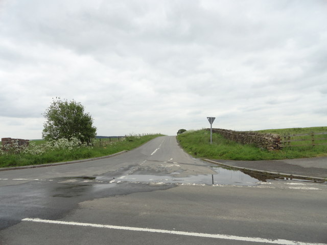
Image: © Robert Graham Taken: 30 May 2014
This is the junction of Holmside Hall Road with Wagtail Lane, which runs west out of the village into the countryside.
Images are licensed for reuse under creativecommons.org/licenses/by-sa/2.0
Image Location
Latitude
54.846916
Longitude
-1.683837