Open Ground, Black Rock, Brighton
Introduction
The photograph on this page of Open Ground, Black Rock, Brighton by Simon Carey as part of the Geograph project.
The Geograph project started in 2005 with the aim of publishing, organising and preserving representative images for every square kilometre of Great Britain, Ireland and the Isle of Man.

There are currently over 7.5m images from over 14,400 individuals and you can help contribute to the project by visiting https://www.geograph.org.uk
Open Ground, Black Rock, Brighton
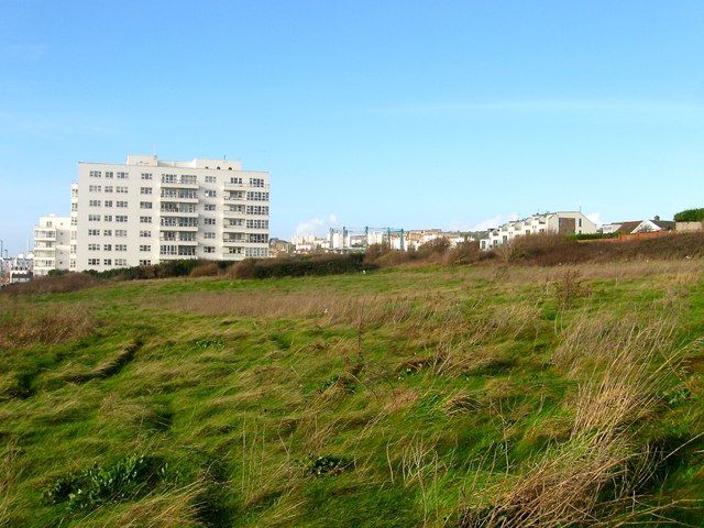
Image: © Simon Carey Taken: 23 Dec 2015
Bounded by Marine Drive, the A259, to the south and rear gardens of The Cliff to the north. Once a field called Hither Black Rock according to Rottingdean's 1839 tithe map that was located to the rear of Black Rock Farm which was demolished in the early 1900s due to cliff erosion. The land is private though a public footpath runs alongside Marine Gate at the western end. To the right of the flats is the top of Image and to its right the houses are in Image
Images are licensed for reuse under creativecommons.org/licenses/by-sa/2.0
Image Location
Latitude
50.814704
Longitude
-0.102242