Rebuilding of 2, St Mary?s Close
Introduction
The photograph on this page of Rebuilding of 2, St Mary?s Close by John Baker as part of the Geograph project.
The Geograph project started in 2005 with the aim of publishing, organising and preserving representative images for every square kilometre of Great Britain, Ireland and the Isle of Man.

There are currently over 7.5m images from over 14,400 individuals and you can help contribute to the project by visiting https://www.geograph.org.uk
Rebuilding of 2, St Mary?s Close
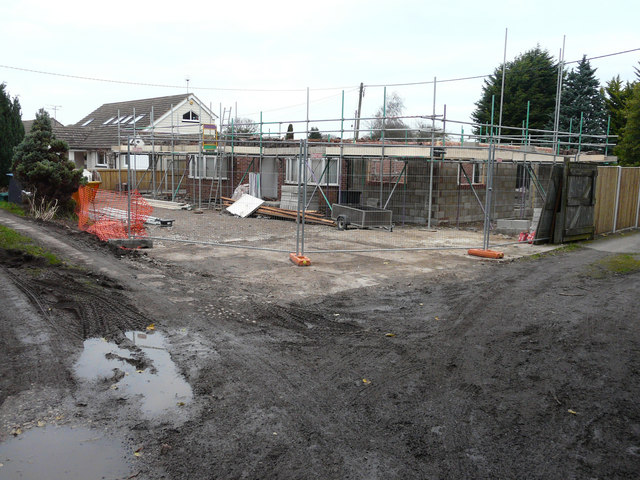
Image: © John Baker Taken: 2 Dec 2015
Compared with Image, the demolition seems to have been completed. Planning permission has been granted by Dover District Council under application number DOV/15/00729 for the “erection of a single storey side extension, garage and roof extension incorporating a rear dormer, roof-lights and balcony (existing garden room to be demolished)”.
Images are licensed for reuse under creativecommons.org/licenses/by-sa/2.0
Image Location
Latitude
51.246185
Longitude
1.308915