Public bridleway next to the M1 motorway
Introduction
The photograph on this page of Public bridleway next to the M1 motorway by Mat Fascione as part of the Geograph project.
The Geograph project started in 2005 with the aim of publishing, organising and preserving representative images for every square kilometre of Great Britain, Ireland and the Isle of Man.

There are currently over 7.5m images from over 14,400 individuals and you can help contribute to the project by visiting https://www.geograph.org.uk
Public bridleway next to the M1 motorway
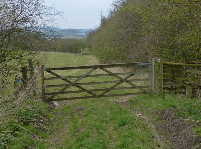
Image: © Mat Fascione Taken: 5 Apr 2015
The motorway is to the right of the bushes. The bridleway is heading north towards the village of Lilbourne.
Images are licensed for reuse under creativecommons.org/licenses/by-sa/2.0
Image Location
Latitude
52.370979
Longitude
-1.162742