Road Junction
Introduction
The photograph on this page of Road Junction by Stanley Howe as part of the Geograph project.
The Geograph project started in 2005 with the aim of publishing, organising and preserving representative images for every square kilometre of Great Britain, Ireland and the Isle of Man.

There are currently over 7.5m images from over 14,400 individuals and you can help contribute to the project by visiting https://www.geograph.org.uk
Road Junction
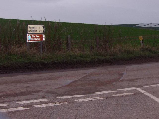
Image: © Stanley Howe Taken: 17 Nov 2015
1ml south of Wormit, where Links Wood road joins B946.
Images are licensed for reuse under creativecommons.org/licenses/by-sa/2.0
Image Location
Latitude
56.414491
Longitude
-2.972274