Moor Park Way, Compton
Introduction
The photograph on this page of Moor Park Way, Compton by Peter Trimming as part of the Geograph project.
The Geograph project started in 2005 with the aim of publishing, organising and preserving representative images for every square kilometre of Great Britain, Ireland and the Isle of Man.

There are currently over 7.5m images from over 14,400 individuals and you can help contribute to the project by visiting https://www.geograph.org.uk
Moor Park Way, Compton
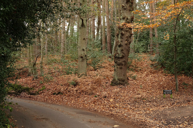
Image: © Peter Trimming Taken: 11 Nov 2015
This patch of mixed woodland stands beside the road. The road drops, as it approaches the River Wey, leaving a steep bank on the right side of the road.
Images are licensed for reuse under creativecommons.org/licenses/by-sa/2.0
Image Location
Latitude
51.212636
Longitude
-0.774741