Unmade up section of Arun Way
Introduction
The photograph on this page of Unmade up section of Arun Way by Peter Holmes as part of the Geograph project.
The Geograph project started in 2005 with the aim of publishing, organising and preserving representative images for every square kilometre of Great Britain, Ireland and the Isle of Man.

There are currently over 7.5m images from over 14,400 individuals and you can help contribute to the project by visiting https://www.geograph.org.uk
Unmade up section of Arun Way
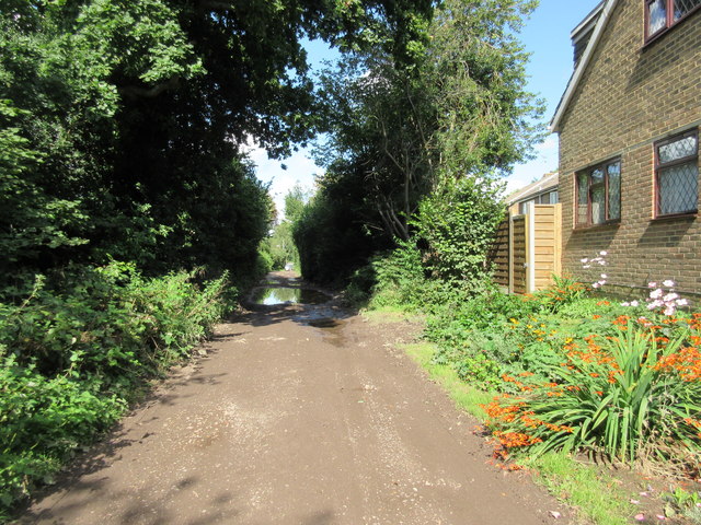
Image: © Peter Holmes Taken: 28 Aug 2015
Public bridleway 1670 adjacent to rear of property in Weald Close.
Images are licensed for reuse under creativecommons.org/licenses/by-sa/2.0
Image Location
Latitude
51.056865
Longitude
-0.317533