Level crossing at Chapel-en-le-Frith station
Introduction
The photograph on this page of Level crossing at Chapel-en-le-Frith station by Alan Murray-Rust as part of the Geograph project.
The Geograph project started in 2005 with the aim of publishing, organising and preserving representative images for every square kilometre of Great Britain, Ireland and the Isle of Man.

There are currently over 7.5m images from over 14,400 individuals and you can help contribute to the project by visiting https://www.geograph.org.uk
Level crossing at Chapel-en-le-Frith station
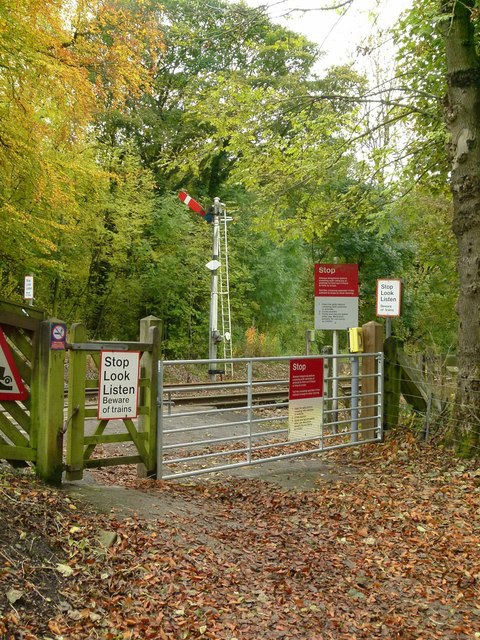
Image: © Alan Murray-Rust Taken: 25 Oct 2015
This serves as passenger access to the Manchester-bound platform, but is also a public footpath and private vehicle access to a few properties. On the far side of the line is Chapel down starter signal.
Images are licensed for reuse under creativecommons.org/licenses/by-sa/2.0
Image Location
Latitude
53.31214
Longitude
-1.919513