Auckland Park
Introduction
The photograph on this page of Auckland Park by Trevor Littlewood as part of the Geograph project.
The Geograph project started in 2005 with the aim of publishing, organising and preserving representative images for every square kilometre of Great Britain, Ireland and the Isle of Man.

There are currently over 7.5m images from over 14,400 individuals and you can help contribute to the project by visiting https://www.geograph.org.uk
Auckland Park
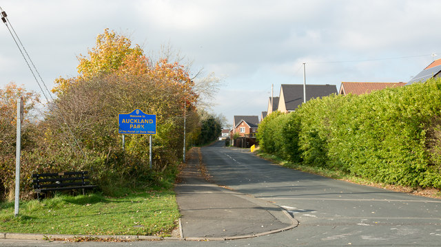
Image: © Trevor Littlewood Taken: 26 Oct 2015
Auckland Park is a small settlement on the east side of Bishop Auckland; the road is entering from the direction of Coundon Grange. The blue and yellow road sign is in a style in use in County Durham for many years.
Images are licensed for reuse under creativecommons.org/licenses/by-sa/2.0
Image Location
Latitude
54.652269
Longitude
-1.651716