Bath Road direction sign, Lightpill
Introduction
The photograph on this page of Bath Road direction sign, Lightpill by Jaggery as part of the Geograph project.
The Geograph project started in 2005 with the aim of publishing, organising and preserving representative images for every square kilometre of Great Britain, Ireland and the Isle of Man.

There are currently over 7.5m images from over 14,400 individuals and you can help contribute to the project by visiting https://www.geograph.org.uk
Bath Road direction sign, Lightpill
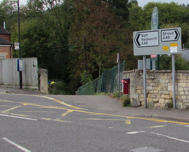
Image: © Jaggery Taken: 18 Oct 2015
Facing the Kitesnest Lane junction. Left along the A46 Bath Road for Nailsworth and Bath, right for Stroud. Lightpill is part of Rodborough civil parish in the district of Stroud, and is part of the Stroud urban area along with Stroud and Cainscross.
Images are licensed for reuse under creativecommons.org/licenses/by-sa/2.0
Image Location
Latitude
51.733579
Longitude
-2.23323