Bean Pod
Introduction
The photograph on this page of Bean Pod by Gary Rogers as part of the Geograph project.
The Geograph project started in 2005 with the aim of publishing, organising and preserving representative images for every square kilometre of Great Britain, Ireland and the Isle of Man.

There are currently over 7.5m images from over 14,400 individuals and you can help contribute to the project by visiting https://www.geograph.org.uk
Bean Pod
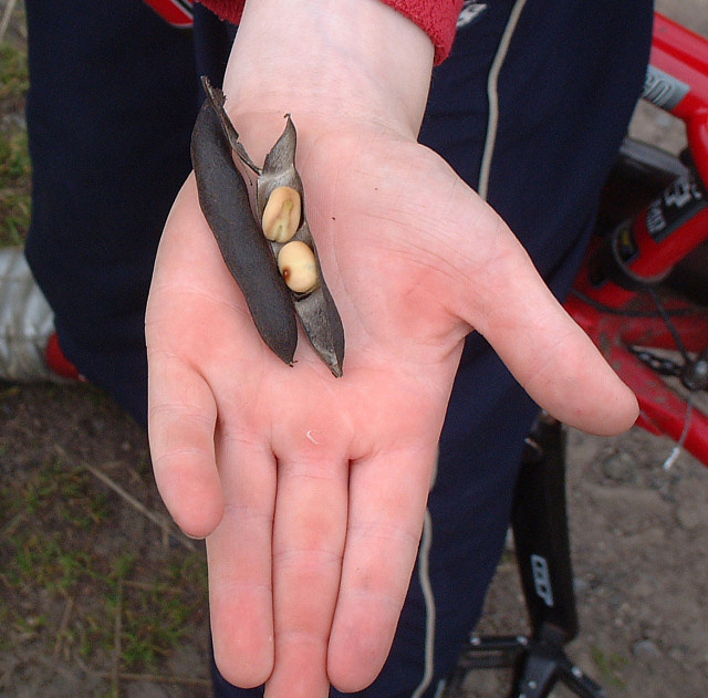
Image: © Gary Rogers Taken: 31 Aug 2005
The fields full of ripe bean crop in the south east corner of this grid square are shown in another pic.
Images are licensed for reuse under creativecommons.org/licenses/by-sa/2.0
Image Location


Leaflet Map data © OpenStreetMap
Latitude
53.499131
Longitude
-2.702453