White Ash Farm
Introduction
The photograph on this page of White Ash Farm by Nigel Mykura as part of the Geograph project.
The Geograph project started in 2005 with the aim of publishing, organising and preserving representative images for every square kilometre of Great Britain, Ireland and the Isle of Man.

There are currently over 7.5m images from over 14,400 individuals and you can help contribute to the project by visiting https://www.geograph.org.uk
White Ash Farm
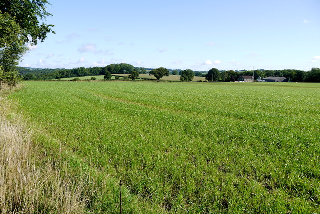
Image: © Nigel Mykura Taken: 7 Aug 2015
View across a field of grass fodder towards the farm from close to the minor road from Howley east to the A30 on Cleave Hill
Images are licensed for reuse under creativecommons.org/licenses/by-sa/2.0
Image Location
Latitude
50.883661
Longitude
-3.032129