Path near East Tilbury
Introduction
The photograph on this page of Path near East Tilbury by Stephen Richards as part of the Geograph project.
The Geograph project started in 2005 with the aim of publishing, organising and preserving representative images for every square kilometre of Great Britain, Ireland and the Isle of Man.

There are currently over 7.5m images from over 14,400 individuals and you can help contribute to the project by visiting https://www.geograph.org.uk
Path near East Tilbury
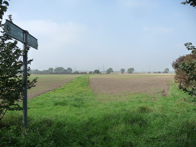
Image: © Stephen Richards Taken: 3 Oct 2015
Marked on the map as the Coal Road, now a public footpath. Seen on a hazy day.
Images are licensed for reuse under creativecommons.org/licenses/by-sa/2.0
Image Location
Latitude
51.474766
Longitude
0.412915