Hollingbury Crescent, Hollingdean, Brighton
Introduction
The photograph on this page of Hollingbury Crescent, Hollingdean, Brighton by Simon Carey as part of the Geograph project.
The Geograph project started in 2005 with the aim of publishing, organising and preserving representative images for every square kilometre of Great Britain, Ireland and the Isle of Man.

There are currently over 7.5m images from over 14,400 individuals and you can help contribute to the project by visiting https://www.geograph.org.uk
Hollingbury Crescent, Hollingdean, Brighton
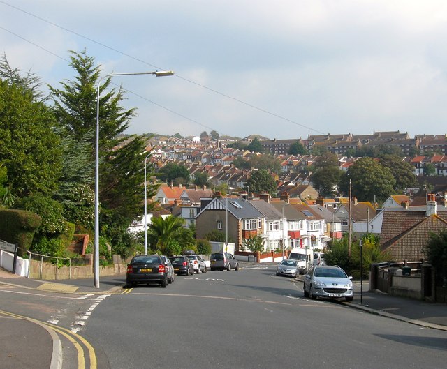
Image: © Simon Carey Taken: 4 Oct 2015
The road links Hollingbury Road with the crossroads at Hollingdean Terrace with the road continuining as Hollingbury Place. It was developed between 1910 and 1914 and descends into what was once Cowley's Bottom containing a single building, Harrington Farm. The valley was developed from 1900 and again in the 1920s with the eastern slope competed in the 1950s. The suburb of Hollingdean is roughly bounded by Hollingbury Road in the west, Hollingdean Road to the south and the railway line to the east. To the north is open downland containing Hollingbury Park Golf Course.
Images are licensed for reuse under creativecommons.org/licenses/by-sa/2.0
Image Location
Latitude
50.843787
Longitude
-0.13217