Millikenpark, Johnstone
Introduction
The photograph on this page of Millikenpark, Johnstone by M J Richardson as part of the Geograph project.
The Geograph project started in 2005 with the aim of publishing, organising and preserving representative images for every square kilometre of Great Britain, Ireland and the Isle of Man.

There are currently over 7.5m images from over 14,400 individuals and you can help contribute to the project by visiting https://www.geograph.org.uk
Millikenpark, Johnstone
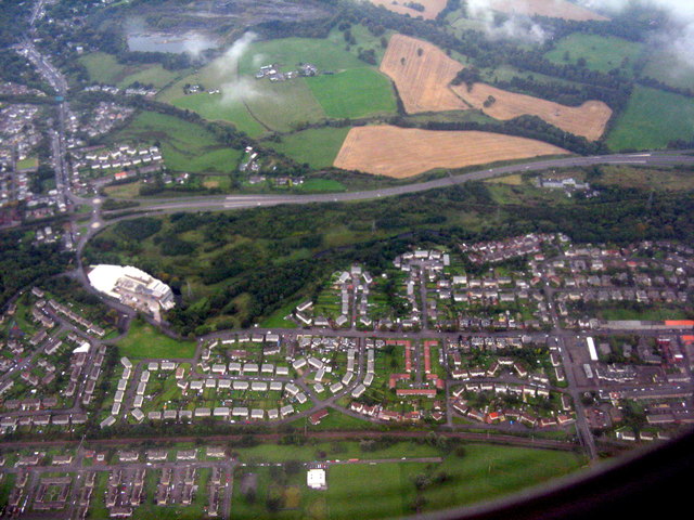
Image: © M J Richardson Taken: 26 Sep 2015
The valley of the Black Cart Water, with the outskirts of Johnstone and the A737 running through. The large white building to the left is the Cartside Mills of Smith & Mclaurin, manufacturers of self-adhesive label, ticket and tag materials http://www.smcl.co.uk/
Images are licensed for reuse under creativecommons.org/licenses/by-sa/2.0
Image Location
Latitude
55.829762
Longitude
-4.525676