Crop north of Heywood Lane
Introduction
The photograph on this page of Crop north of Heywood Lane by Jonathan Billinger as part of the Geograph project.
The Geograph project started in 2005 with the aim of publishing, organising and preserving representative images for every square kilometre of Great Britain, Ireland and the Isle of Man.

There are currently over 7.5m images from over 14,400 individuals and you can help contribute to the project by visiting https://www.geograph.org.uk
Crop north of Heywood Lane
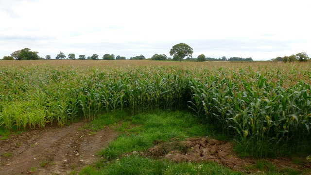
Image: © Jonathan Billinger Taken: 9 Sep 2015
It's ubiquitous maize, which hasn't had a good growing season in 2015. The crop is grown as winter fodder for the dairy farms.
Images are licensed for reuse under creativecommons.org/licenses/by-sa/2.0
Image Location
Latitude
52.965834
Longitude
-2.544289