Obstructed footpath
Introduction
The photograph on this page of Obstructed footpath by Clint Mann as part of the Geograph project.
The Geograph project started in 2005 with the aim of publishing, organising and preserving representative images for every square kilometre of Great Britain, Ireland and the Isle of Man.

There are currently over 7.5m images from over 14,400 individuals and you can help contribute to the project by visiting https://www.geograph.org.uk
Obstructed footpath
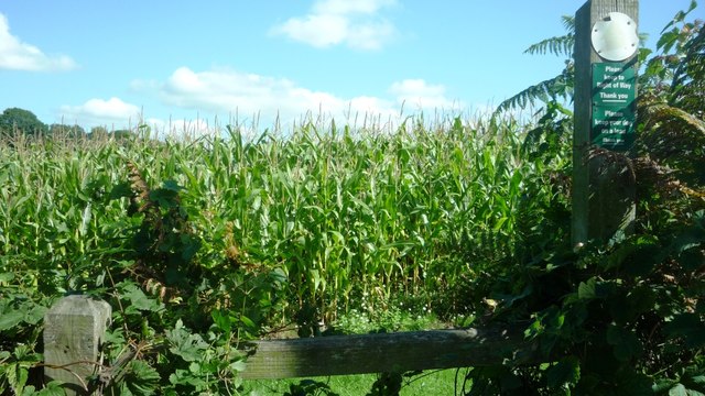
Image: © Clint Mann Taken: 6 Sep 2015
Walkers following the Explorer OS Map may find the footpath marked in green on the map is not walkable owing to the planting of a field of tall maize. There is a route to the north of this area where a narrow passageway has been left between the stems; this is evidenced by the black lines that can be found on larger scale versions of the map.
Images are licensed for reuse under creativecommons.org/licenses/by-sa/2.0
Image Location
Latitude
51.886812
Longitude
-2.509649